The block
The block around Cascades Casino
Cascades Casino Penticton stands at 201-553 Vees Dr., beside the South Okanagan Events Centre, on a lot it moved to in 2017. This page maps what else stands around it, with every distance taken as a straight line on the map.
By the Vees Drive desk Checked October 2026
01The block
The buildings next door
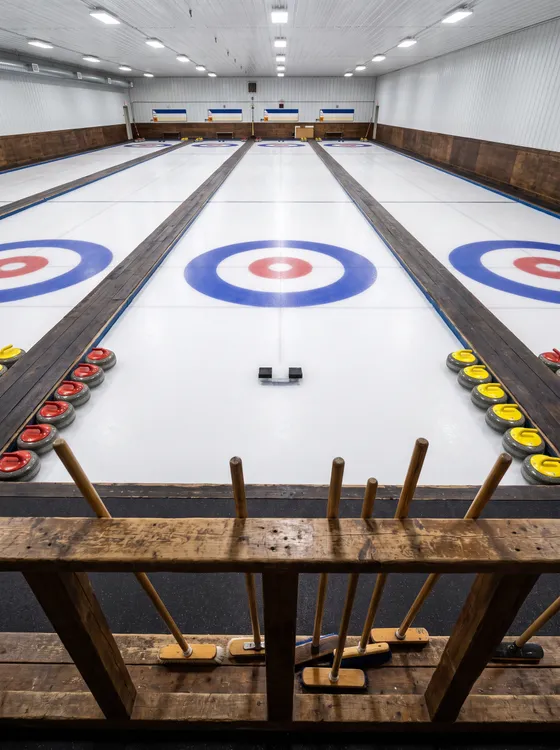
Penticton Curling Club stands 70 m west of the casino, and the map records it as a curling rink. Penticton Memorial Arena lies 130 m north, tagged as a hockey and lacrosse arena. To the north-west, Penticton Community Centre is 200 m off. The South Okanagan Events Centre sits 230 m north-west and appears on the map as an events arena.
In 2017 the casino moved to Vees Drive, onto a lot that borders the events centre. The City of Penticton leases that land to Cascades on a 20-year term. Before the move, the casino spent roughly 15 years at the Lakeside Resort.
Measure the block
Straight lines from the casino door to places on the map. Pick a place.
Rinks and arenas
Civic and indoor
Parks and gardens
Water and paths
History
Straight lines between OpenStreetMap points (© OpenStreetMap contributors). Roads and paths are longer.
| Place | Straight line from the casino |
|---|---|
| Penticton Curling Club | 70 m west |
| Penticton Memorial Arena | 130 m north |
| Penticton Community Centre | 200 m north-west |
| South Okanagan Events Centre | 230 m north-west |
| Visitor centre | 290 m west |
| Penticton Trade and Convention Centre | 320 m north-west |
| Kings Park | 340 m south-east |
| Queens Park | 380 m north-west |
| Penticton Golf & Country Club | 630 m south-west |
| Channel Pathway | 710 m south-west |
| Lakawanna Park | 720 m north |
| Okanagan River Channel | 800 m south-west |
| Landmark Cinemas 7 | 840 m north-east |
| Okanagan Lake | 900 m north |
| Riverside Park | 950 m north-west |
| Rose Gardens Park | 1.0 km north-west |
| SS Sicamous | 1.0 km north-west |
| Penticton City Hall | 1.1 km north-east |
| Penticton Public Library | 1.1 km east |
| Penticton Museum | 1.1 km east |
| Gyro Park | 1.1 km north-east |
| Kettle Valley Railway Station | 1.3 km south-east |
| Kiwanis Walking Pier | 1.3 km north-east |
| Okanagan Lake Park | 1.3 km north-east |
| Skaha Lake | 4.6 km south |
02The block
The civic side of the block
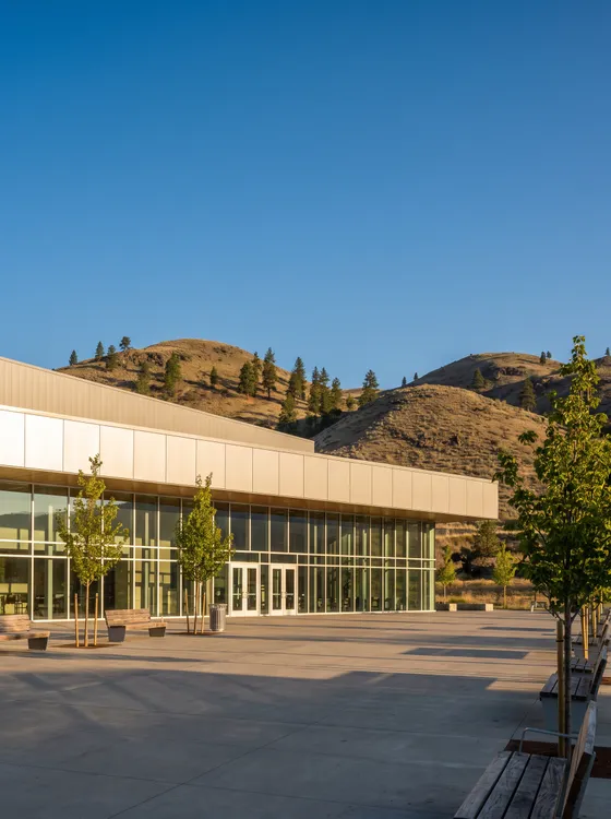
The visitor centre, which the map marks as a tourist information point, stands 290 m west of Cascades. Penticton Trade and Convention Centre is 320 m north-west. Kings Park lies 340 m south-east and is mapped as sports grounds. Queens Park, shown as a park, sits 380 m north-west.
An arena, a curling rink, an events centre and a convention centre all stand within 320 m of the casino. As a general habit, the desk suggests building in extra time on any night with a big event scheduled next door.
03The block
Inside the first kilometre
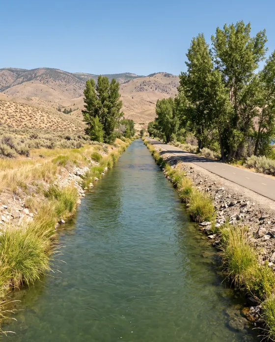
Penticton Golf & Country Club lies 630 m south-west of the casino. In the same direction, at 710 m, the map places the Channel Pathway, a cycle and walking route that follows the river channel. Lakawanna Park sits 720 m north. Landmark Cinemas 7 is 840 m north-east, and Riverside Park is 950 m north-west.
Okanagan River Channel has its nearest mapped shore 800 m south-west of Cascades. The Okanagan Lake shore is 900 m north, measured the same way. Because the Channel Pathway is counted to its middle, the path and the water's edge carry different figures.
04The block
The one-kilometre ring
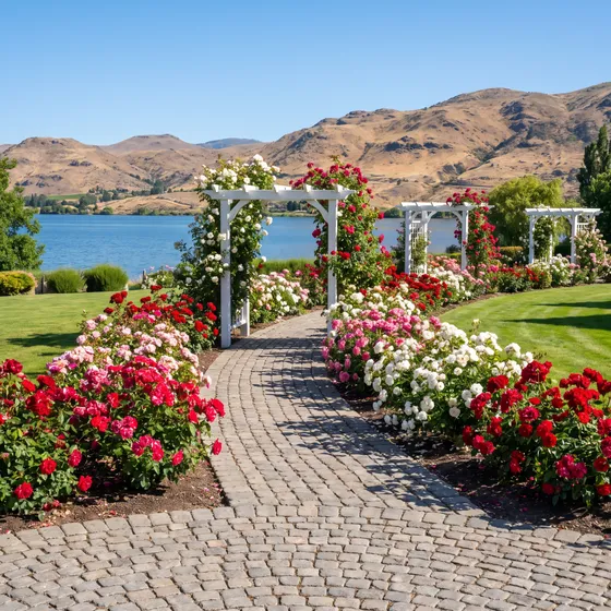
Rose Gardens Park and the SS Sicamous both sit 1.0 km north-west of the casino, the second mapped as a museum ship. Penticton City Hall is 1.1 km north-east, and Gyro Park shares that distance and direction. To the east, also 1.1 km out, the map places Penticton Public Library and Penticton Museum.
Kettle Valley Railway Station, shown on the map as a historic station, lies 1.3 km south-east. Kiwanis Walking Pier and Okanagan Lake Park carry the same 1.3 km figure, both to the north-east. Skaha Lake sits much further off: its nearest mapped shore is 4.6 km south of Cascades.
05The block
Rooms near the casino
Within a kilometre of the casino, the map records 15 hotels and motels, the nearest about 250 m away. The casino's own pages mention no hotel attached to Cascades. The desk names none of them here, since map listings can close or change.
06The block
How the block was measured
Each figure here runs from the casino's map point to the point of a place. For a park or a long path, the line ends at the centre of its mapped area. Volunteers edit the map, and a listed place can close or change. The distance tool opens Google Maps directions to 201-553 Vees Dr., and Google supplies the route and its time.
07Asked at the desk
Questions
What stands right beside the casino?
Penticton Curling Club is 70 m west and is mapped as a curling rink. Penticton Memorial Arena sits 130 m north, shown on the map as a hockey and lacrosse arena.
Where is the South Okanagan Events Centre from Cascades?
The events centre lies 230 m north-west in a straight line. The casino moved onto its lot beside the events centre in 2017.
Which way is Okanagan Lake from Vees Drive?
The mapped shore of Okanagan Lake lies 900 m north of the casino, taken as a straight line. The Okanagan River Channel is nearer, at 800 m south-west.
08More on the board